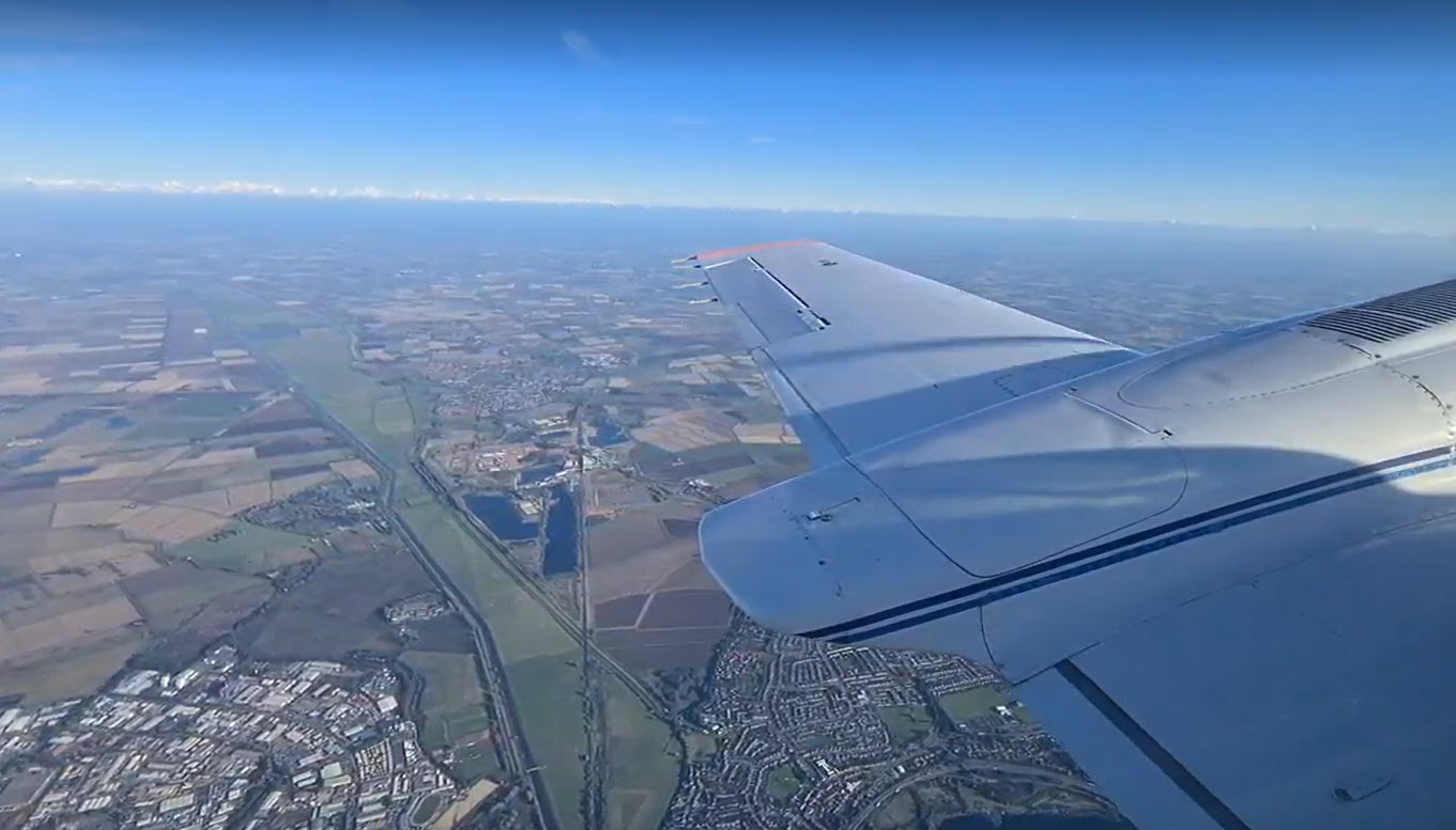
Image provided courtesy of Bluesky International
For large urban areas (over 300 hundred square kilometers), such as capital cities and metropolitan areas PLACE contracts aerial mapping companies to acquire imagery on our behalf. Our partners, BlueSky (UK) and IO Aerospace (Canada) use traditional photogrammetric techniques (aircraft with calibrated cameras) to acquire high-resolution, positionally accurate imagery in a fraction of the time of a UAV.


