Our News
From Imagery to Impact: How PLACE Data Is Transforming Government Operations
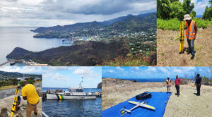
I over as the Director of the Anguilla Department of Lands and Surveys (DLS) in 2014 with the goal of modernizing land administration island-wide. A limited government budget meant that many of theinitially