

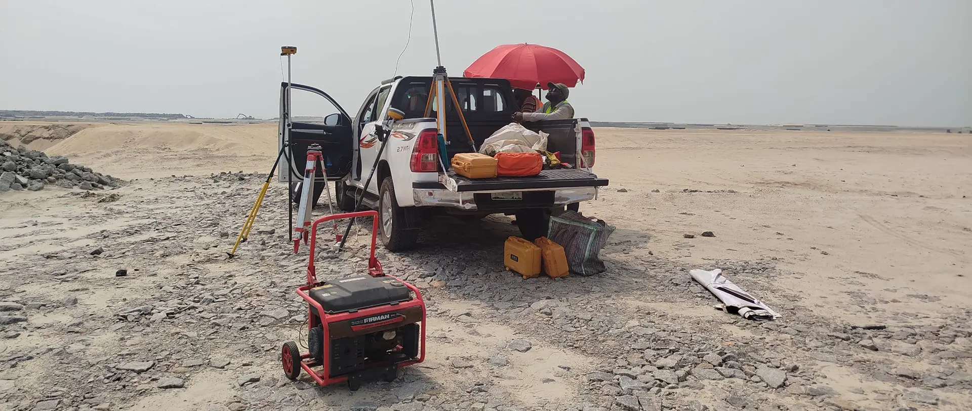
It’s 6 AM in Abuja, and a flight window is about to open. Half a world away, a PLACE engineer joins a video call with the OSGOF drone team — reviewing the flight plan, walking through a camera setting, making sure the next two hours yield data the team will be proud of. No one had to schedule the call days in advance. No one’s billing for it. It just happens, because that’s what the work requires.
This is the part of PLACE’s work that rarely shows up in a brochure.
At PLACE, we talk a lot about sovereign spatial data — data that belongs to the governments and communities it represents. But sovereignty isn’t only about ownership. It’s about capacity. An agency that owns its data but can’t consistently collect, process, or use it hasn’t truly gained anything.
That’s why the most meaningful part of what we do often has nothing to do with us driving a street-mapping vehicle or flying a drone ourselves. It happens on that 6 AM call. It happens when a camera mount doesn’t quite fit and we’re troubleshooting fabrication in real time. It happens when a processing pipeline produces unexpected artifacts and we work through it together until the output is something the team is proud of.
This is partnership — and it looks quite different from contracting.
A Trusted Advisor in a Crowded Market
National mapping agencies are inundated with promises of silver-bullet technologies — AI platforms, turnkey satellite solutions, automated workflows that claim to solve everything at once. The reality is more complicated. Technology alone doesn’t build institutional capacity.
PLACE plays a different role. We’re an honest broker with no products to sell and no platform to lock partners into. Our team has spent careers in mapping and land information across dozens of countries, and we bring that experience to every engagement — helping partners cut through the noise and build programs designed to last.
OSGOF and the Work in Abuja
A recent example is our ongoing collaboration with the Office of the Surveyor-General of the Federation (OSGOF) of Nigeria — one of the most strategically important geospatial institutions on the continent.
When the PLACE team deployed to Abuja, the mission extended well beyond data capture. Yes, we collected more than 1,000 km of street-level imagery across the capital and 5 cm resolution imagery over the city — but that was almost secondary to everything else.
The commitment to this work starts at the top. The Surveyor-General, Surv. Adebomehin Adeyemi, has not only empowered his staff to engage fully with PLACE — he actively participates himself, stopping into training sessions and checking on field operations. His personal engagement sends a clear signal throughout the institution: this work matters. Surv. Afeez Azeez, Head of Photogrammetry and Remote Sensing, has been the connective tissue between PLACE’s technical support and OSGOF’s operational teams — coordinating stakeholders, organizing logistics, and ensuring continuity between deployments.
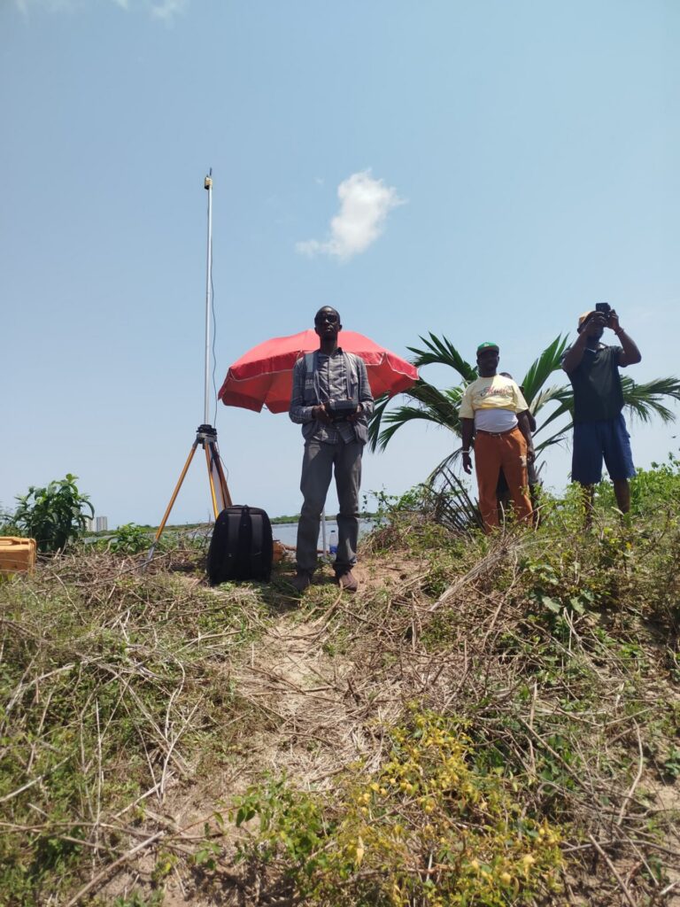
On the ground, that leadership translates into action through people like Samir Ibrahim, Assistant Chief Surveyor and Lead Drone Pilot. Samir is exactly the kind of committed, technically engaged counterpart that makes a partnership thrive — sharp, hands-on, and deeply motivated to build something lasting. We regularly liaise with him during live drone operations, joining calls to troubleshoot in real time, review flight plans, or offer a second perspective when conditions don’t match expectations. With Samir leading a dedicated team, the quality of work coming out of Abuja has been outstanding.
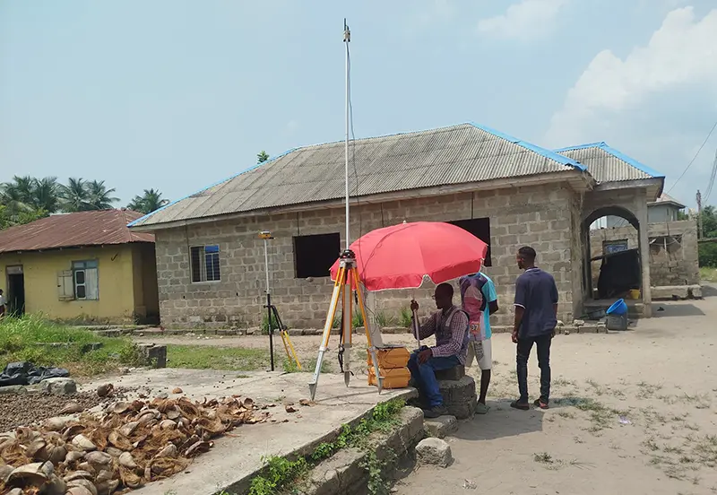
We worked alongside OSGOF staff on hands-on equipment training — not just how to operate the hardware, but why each step matters. When a setup needed modification, we helped fabricate a street camera mount from local materials. When the data came in, we sat with the team to evaluate it against quality benchmarks and discuss what “good” looks like at scale.
OSGOF wasn’t starting from zero. They had equipment. They had motivated staff. What they had lacked was the kind of consistent, responsive, technically engaged support that turns occasional data collection into sustained operational capability.

OSGOF Takes the Lead
This is where the story gets genuinely exciting.
Since the PLACE team departed, OSGOF has continued collecting independently — capturing more than 20,000 hectares of new coverage on their own, including along the Lagos-Calabar Coastal Highway, Banana Island, and many other locations across the country. That number matters not because it reflects PLACE’s work, but precisely because it doesn’t. It reflects OSGOF’s — a committed team, empowered by leadership at every level, that now has the confidence and capability to keep going.
This is what we mean when we say PLACE is a partner, not a contractor. A contractor delivers a dataset and closes the invoice. A partner leaves a team more capable than it found them.
What True Partnership Looks Like
For PLACE members and PLACE Community participants alike, the support model is deliberately hands-on and ongoing. That means:
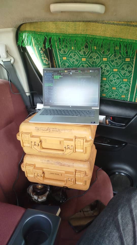
- Real-time troubleshooting. We join video calls during flight preparations — not to supervise, but to be present when questions arise. Hardware, software, airspace coordination: we work through it together.
- Use case development. Data collection doesn’t happen in a vacuum. We help member teams identify what to collect, where to prioritize, and how the resulting datasets connect to the policy decisions and planning workflows that matter most to their institutions.
- Technical depth when it counts. From camera fabrication and mount design to processing pipelines and data product QA, PLACE staff bring genuine field experience. We’re not reading from a manual — we’ve done this work across dozens of deployments in challenging environments.
- Honest guidance in a complex landscape. We help partners navigate a growing marketplace of technologies and vendors with clear-eyed, field-tested advice — the kind that only comes from having been in the same position our partners are in now.
- Confidence at scale. Perhaps the most underrated part of what we provide. Knowing that someone experienced is reachable — that you’re not alone when something goes wrong — changes what teams are willing to attempt. Ambition scales with support.
Looking Ahead
PLACE looks forward to returning to Nigeria later this year. We’ll bring updated training curricula, newer equipment options, and new dataset types to expand the scope of what the team is capturing. But more than any specific deliverable, we’ll be continuing a relationship — building on what Samir and the OSGOF team have already accomplished and helping them reach the next level of scale.
This is the work we find most satisfying. Not the data we collect ourselves, but the data our members collect long after we’ve left — because we gave them the structure, the support, and the confidence to get it done.
That’s the PLACE model. And we’re just getting started.
—
Interested in learning more about PLACE membership? Visit thisisplace.org or reach out to the team directly.