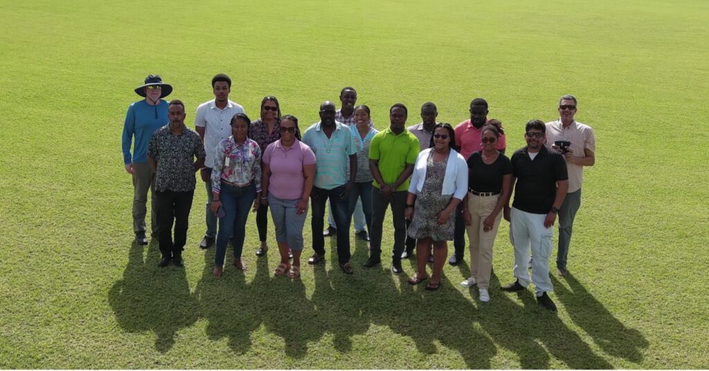

I over as the Director of the Anguilla Department of Lands and Surveys (DLS) in 2014 with the goal of modernizing land administration island-wide. A limited government budget meant that many of theinitially envisioned reforms were not immediately possible, however significant damage to the DLS building by Hurricane Irma in 2017 brought to the forefront the significant risk that existed for the paper-based land records were in. The Government of Anguilla granted permission for the DLS Team, with the support of the United Kingdom Government, to immediately embark on an effort to scan and digitize the existing records. These digitized records then became the foundation for the new land administration system, which leveraged Spatial Dimensions’ (formerly Trimble) Landfolio software platform, to bring a secure, accurate and transparent digital land registration system, valuation, surveying and mapping to the island
Despite the recent investment in a land information system, the island lacked the imagery needed to visualize the land records in relation to current land use/land cover information, which greatly limited the ability to assess how a survey record aligns with the reality on the ground. With satellite imagery lacking the resolution needed, and traditional aerial photography from a crewed aircraft being too expensive, the DLS reached out to PLACE as an economical and rapid solution.
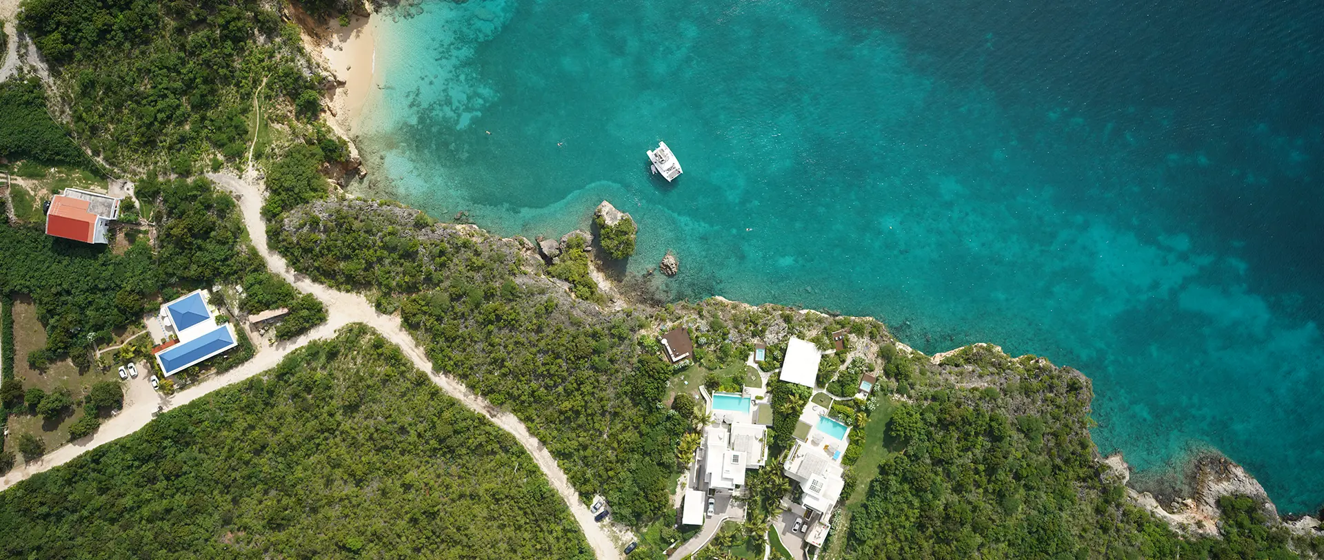
The Government of Anguilla and PLACE executed our agreement in August of 2023, and were collecting PLACE Ground and PLACE Aerial data within weeks. Over the course of October and November, approximately eighty-five square kilometres were captured with a resolution of 5 cm per pixel. In addition, the offshore cays of Sandy Island (0.4 kms2, 2.5 cm resolution) and Scrub Island (12.5 kms2, 10 cm resolution) were captured. Production flights included a series of flights from the Clayton J Lloyd International Airport, requiring close coordination with Air Traffic Control, and prior approvals from the Air Safety Support International (ASSI), a subsidiary of United Kingdom Civil Aviation Authority responsible for civil aviation in the UK Overseas Territories.
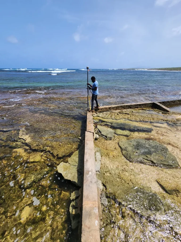
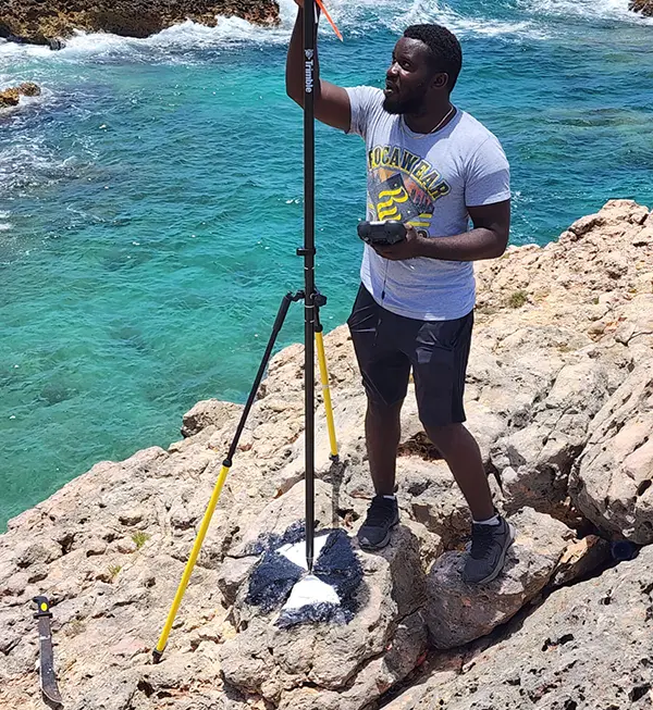
The Lands & Surveys staff created and mapped sixty-six (66) Ground Control Points (GCPs) across the island prior to the imagery capture, ensuring the data can be processed into a single ortho-photo with an approximate positional accuracy of 1 – 1.5 times the ground sampling distance (GSD) that ranges from 2.5 cm to 10 cm/per pixel and meeting the needs of the Department of Lands & Surveys, as well as other government agencies expecting to use the data.
In addition to the aerial imagery, over 325 linear kilometres of roadway was captured, resulting in streetview for all primary, secondary and the vast majority of tertiary roads.
Working together a number of data products were developed to allow for immediate use of the imagery, including initial flood models, a digital surface model, 3D Visualizations of the downtown and the application of machine learning models to the data. These data sets are already being used as the government embarks on new infrastructure developments for which the information is crucial.
For me imagery from PLACE, combined with the Landfolio system and ESRI software, has helped to ensure the DLS is where we envision it to beleading in the Caribbean – having the digital imagery, registers, and the land information system. Everything comes together as one with up to date data and imagery.”