AI Has a Geography Problem

Why models trained in one place often struggle in another Artificial intelligence is transforming how we understand and manage our world. It can help assess disaster damage, monitor urban growth, identify infrastructure needs, and support decisions about everything from climate resilience to land administration. As AI becomes more powerful, expectations for what it can do continue to grow. Yet […]
PLACE Tech: Cloudy Drone Image Classifier
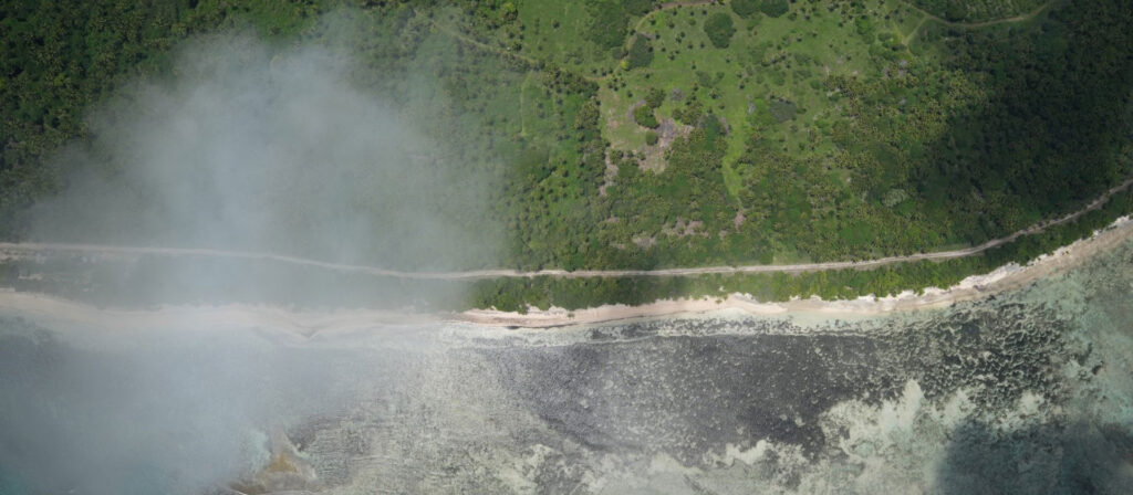
Turning image quality into a decision, not a delay At PLACE, we spend a lot of time solving problems that only show up once you’re actually in the field. One of those is image quality. Drone missions can generate thousands of images in a single run. In BVLOS operations especially, UAVs often fly above low cloud […]
PLACE Ground Preserving Your Privacy: How the PLACE YOLOv8 Model de-identifies Street View Imagery
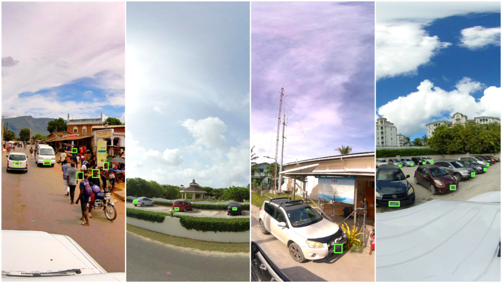
At PLACE, our 360-degree cameras roam the streets, documenting neighborhoods and landmarks to create datasets that serve as the basis for service delivery, digital twins and improved machine learning. But with such powerful data comes great responsibility, especially when it comes to personal privacy. After exploring several approaches with various solution providers, we are now […]
Streets of the World – A Collection of 360 Views from PLACE Ground
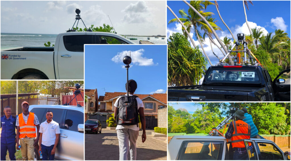
The PLACE team has been hard at work capturing imagery with our partners around the world. From urban centers in Africa, to island wide coverage in the small island states of the Pacific and the Caribbean, our 360 PLACE Ground image library now spans six diverse countries and is available for access to the PLACE Community. […]