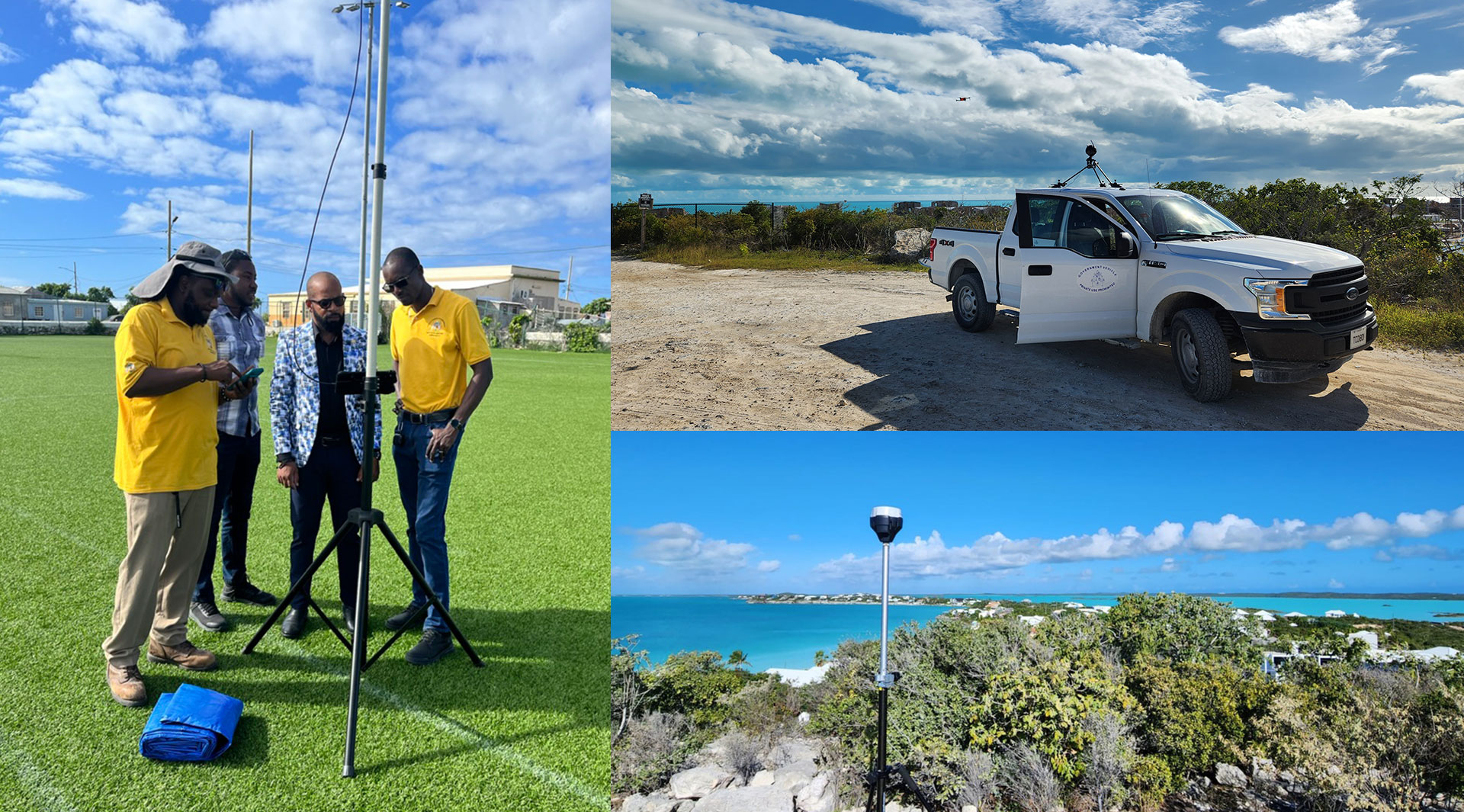
The Turks & Caicos Islands holds a special place in PLACE’s global work. It was not only the first country in the Caribbean to partner with PLACE, but also the first location where we completed a comprehensive, nationwide mapping the imagery and datasets have become foundational tools—used not only for mapping, but for governance, revenue protection, and responsive planning across the country.
For the Valuation Deparment, accurate property valuation isn’t just about assessments—it’s about protecting public land, ensuring compliance, and keeping pace with rapid development. “We’ve been working with PLACE data for close to three years now,” said Michele Grey, Deputy Chief Valuation Officer for the Turks and Caicos Islands Government. “It has become a core part of how we do our daytoday work.”
One of the most immediate benefits has been the ability to conduct preliminary remote property reviews. High-resolution aerial imagery and street-level views give the team an initial look at properties quickly and safely—often without the need for an in-person visit. “Primarily, we use the data for routine property valuation,” Grey explained. “The aerial and street-view imagery allow us to complete a preliminary assessment, and in many cases provide enough context when a physical site visit isn’t possible.” This approach has saved time, improved efficiency, and enabled the department to make informed decisions.
By providing timely visual context and visual documentation to support valuation decisions, the imagery enables efficient preliminary assessments, enhances staff safety, and allows in-person resources to be allocated more strategically and efficiently.
Beyond valuation, PLACE data has also enabled the government to identify development activity that may not have been declared by the land holder, resulting in a lower stamp duty. “We’ve used the data to help identify development on land that may have been declared as vacant,” Gray noted. “That information is invaluable for ensuring fairness and compliance across the islands – directly supporting revenue generation and regulatory enforcement.”
Machine Learning Reveals a Bigger Story
In collaboration with Esri, the Turks and Caicos Islands Government went a step further—using machine learning models to detect buildings across the entire country. While the initial goal was broader building identification, the results quickly revealed something unexpected.
“An unintended consequence was how quickly the models exposed development along our coastline,” said Gray.
Under national law, all land below the high tide line is the property of the Crown. Yet the analysis identified more than 200 jetties, decks, swim platforms, and piers that lacked the required approvals. “In spite of the legislation, these structures were clearly visible in the data,” Gray said. “Having that evidence in one place fundamentally changed how we could address the issue.”
A Foundation for Smarter Governance
From improving everyday valuation work to uncovering unpermitted coastal development, PLACE data has become a foundational tool for the Turks and Caicos Islands Government. “This technology gives us visibility we simply didn’t have before,” Gray said. “It’s helping us work smarter, protect public assets, and keep up with the pace of change across the islands.” With rapid development, particularly in Providenciales, the government is already seeing the need to refresh its imagery. “The data is three years old now, and development is moving fast,” Gray explained. “We already see the need for an imagery update to ensure we continue making informed decisions.”
Already a member of the PLACE Community? Access our PLACE Data here.
Not yet a PLACE Member, but interested in using the data? Contact us or join today, and check out the available imagery via our STAC.