Mapping Tonga: Aerial and Street-Level Imagery for a Digital Future
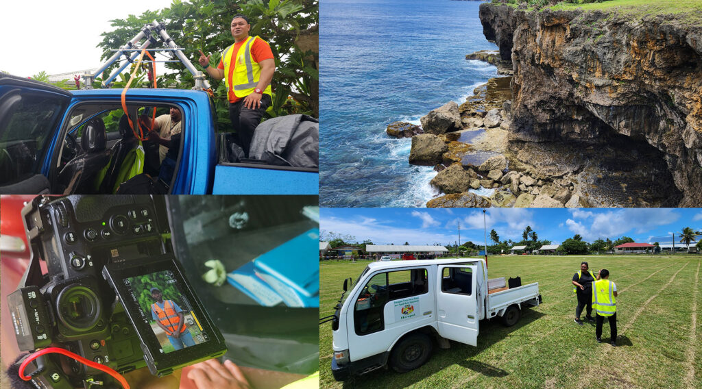
In late 2025, the Kingdom of Tonga embarked on a groundbreaking geospatial initiative in partnership with PLACE Foundation and the Pacific Community (SPC). This project aimed to capture high-resolution aerial and street-level imagery across Tongatapu and Ha’apai, laying the foundation for a national Digital Twin—a virtual representation of the islands to support land management, climate resilience, and infrastructure planning. Why This […]
Turks & Caicos Islands – Leveraging Imagery to Improved Efficiency within the Valuation Office
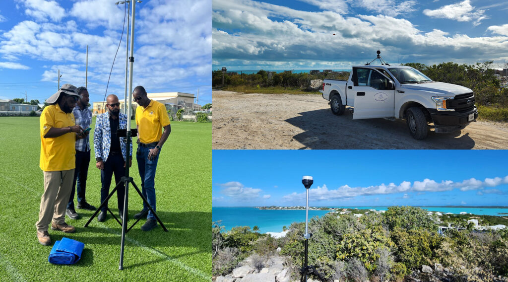
The Turks & Caicos Islands holds a special place in PLACE’s global work. It was not only the first country in the Caribbean to partner with PLACE, but also the first location where we completed a comprehensive, nationwide mapping the imagery and datasets have become foundational tools—used not only for mapping, but for governance, revenue […]
St. Vincent & the Grenadines: Data That Makes a Difference
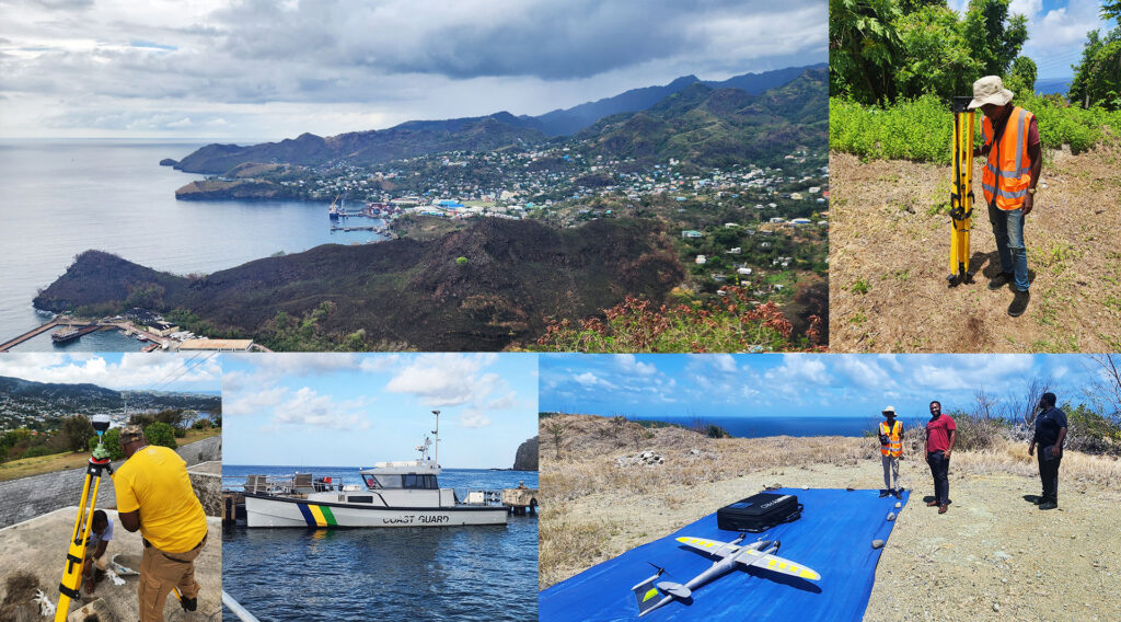
In 2025, PLACE partnered with the Government of St. Vincent & the Grenadines, with support from the World Bank, to deliver a national high-resolution mapping initiative designed to support smarter planning, stronger resilience, and more effective public services. Working closely with the Lands & Surveys Department, PLACE captured comprehensive aerial and street-level imagery across St. […]
Anguilla – Working with the Department of Lands and Surveys
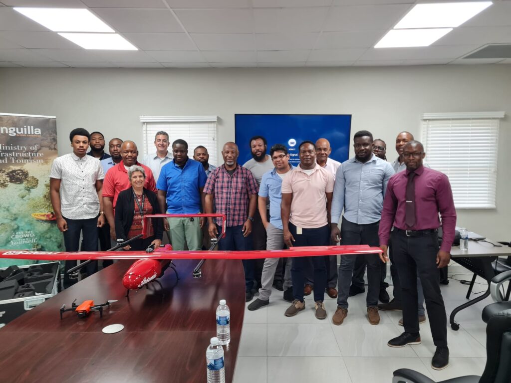
Leslie Jasen Hodge took over as the Director of the Anguilla Department of Lands and Surveys (DLS) Department in 2014 with a grand vision to modernize and digitize land administration island-wide. As is often the case in governments around the world, a limited budget meant that many of his envisioned reforms were not immediately possible. […]
Malawi – working with the Dept. of Surveys

In Malawi, PLACE has partnered with the Department of Surveys, a Division of the Ministry of Lands, to capture PLACE data, initially in the cities of Zomba and Lilongwe. Over the course of a week, working with the Dept. of Surveys and the Zomba City Council staff, more than 260 kilometres of roads were imaged […]