In Malawi, PLACE has partnered with the Department of Surveys, a Division of the Ministry of Lands, to capture PLACE data, initially in the cities of Zomba and Lilongwe.
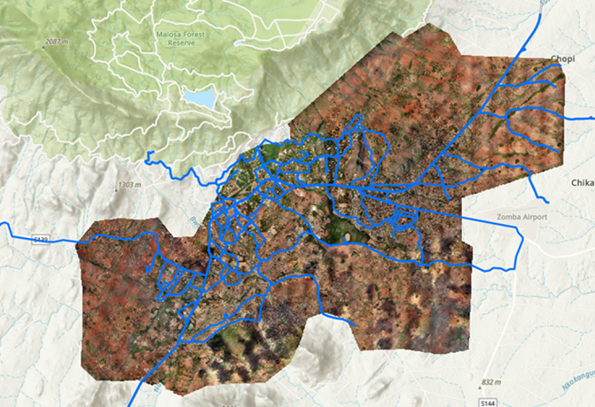
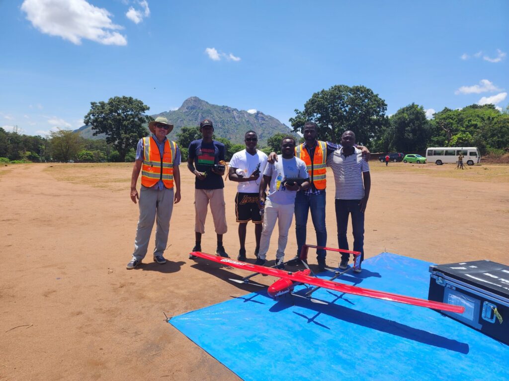
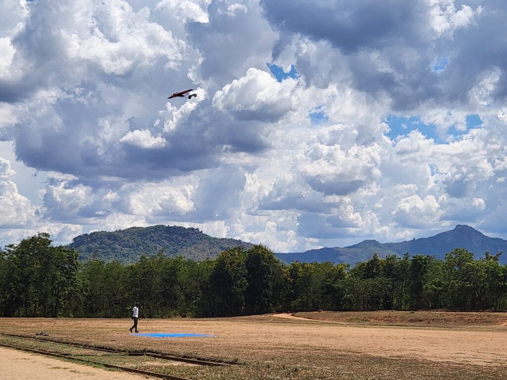
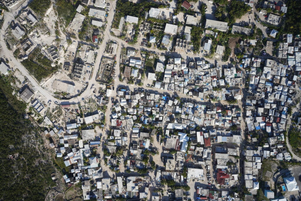
Over the course of a week, working with the Dept. of Surveys and the Zomba City Council staff, more than 260 kilometres of roads were imaged in high resolution. At the same time high resolution aerial imagery was collected up to the official city limits of Zomba as well as the main road to the North and South of the city where rapid development is taking place, totalling 70+ km2 of imagery, captured at 10cm resolution. These data were reviewed each day with our Malawian partners and presented to other government officials.
In Lilongwe, a portion of Area 25 was also captured just prior to seasonal rains and holiday shutdowns. Area 25 was selected by the Lilongwe City Council for initial data collection given its the high degree of informality. The initial Lilongwe data, collected in half a day, resulted in approximately 8 square kilometres of PLACE Aerial and over 20 km of PLACE Ground.
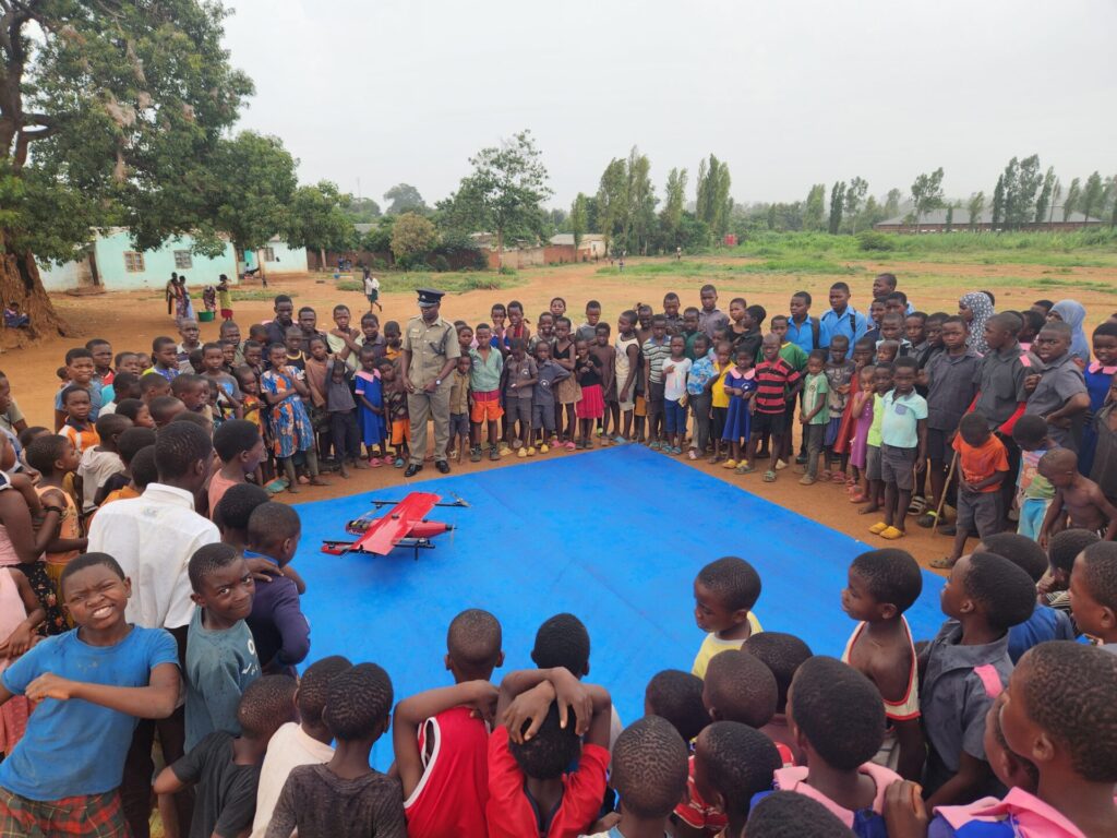
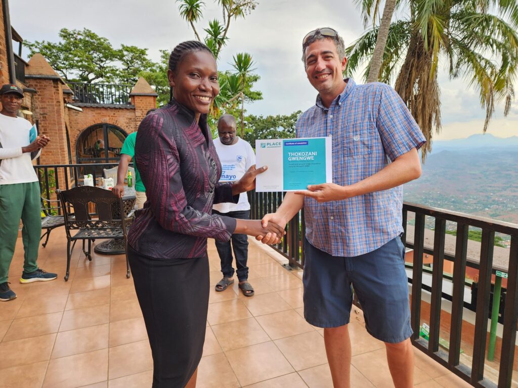
Each of the eleven (11) participants was presented with a Certificate of Completion in recognition of their efforts in completing training on the concepts and technology needed for data collection and hands-on training in the actual collection.
Initial data products including photo mosaics, digital surface models (DSMs), 3D models flood models, building footprint identification and various machine learning models have been developed for initial government use based on needs identified by government stakeholders.
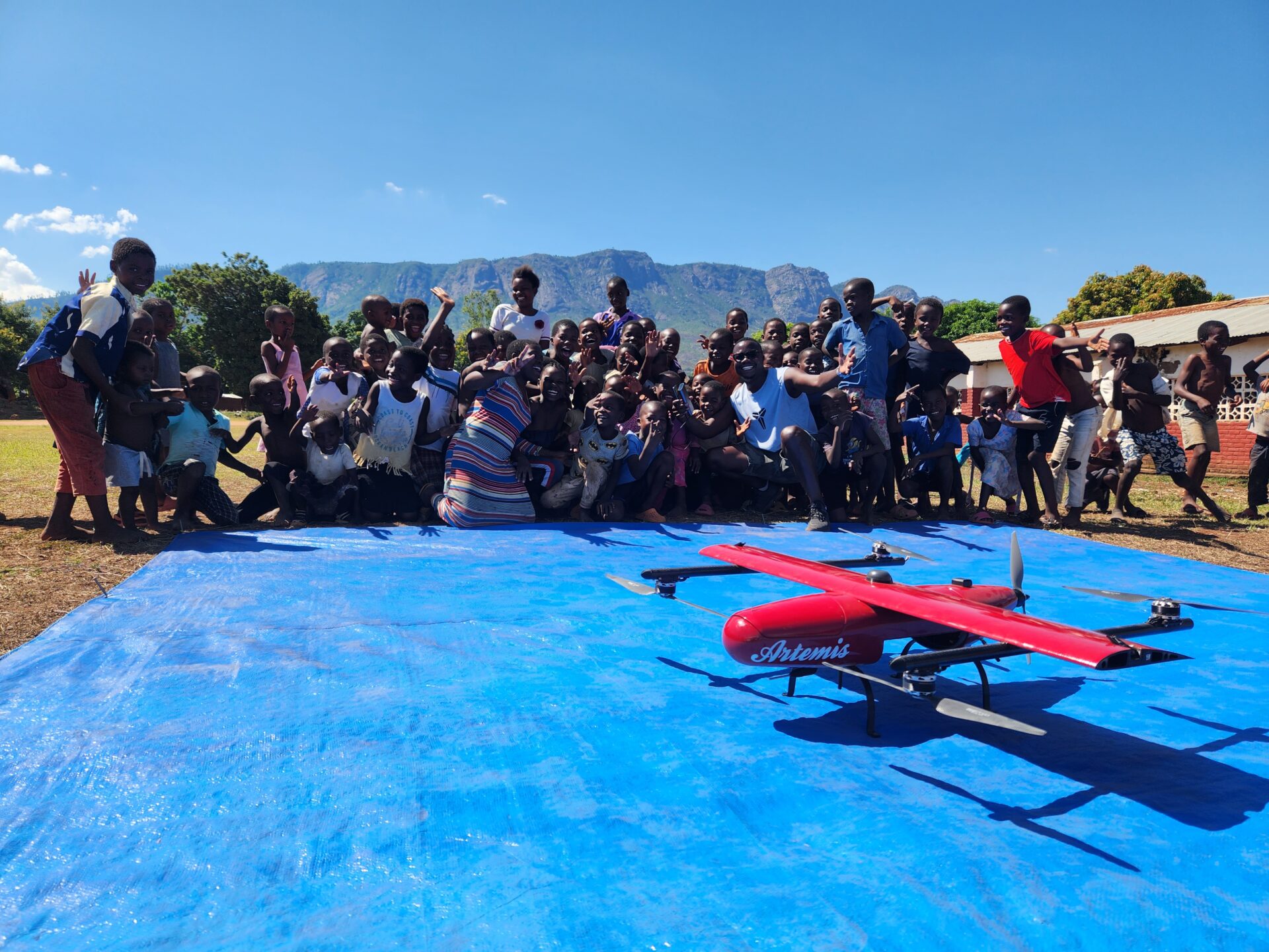
For a more detailed look at the field work in Malawi see our storymap here
We use cookies to ensure that we give you the best experience on our website. If you continue to use this site we will assume that you are happy with it.